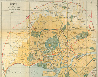
 Travel guides, both current ones and historical ones, will often provide detailed maps. The map in the image to the right is of Tokyo from the 1914 edition of Terry's Japanese Empire. (Click on the map to enlarge it.) The Terry's Guide published in 1933 also has a map of Tokyo--it might be interesting to compare the two maps.
Historical maps can also be found digitized on the internet. Try some of these sites:
JSTOR now contains thousands of images contributed by libraries and other cultural institutions, including images from Artstor. Search JSTOR by keyword, if images contain metadata using your keyword they will display along with journal articles and book chapter results, like this: